 Wanderkarten für Irland im Maßstab 1:50.000. Für Nord-Irland setzt sich die Serie nahtlos unter dem Namen DISCOVERER-maps fort. (Siehe unter Großbritannien)  Übersicht der DISCOVERER / DISCOVERY maps Wanderkarten-Serie Übersicht der DISCOVERER / DISCOVERY maps Wanderkarten-Serie
Kartenausschnitt
Kartenbeispiel
|
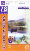
78 KERRY (KILLARNEY) Wanderkarte Irland 1:50.000 - wasserfest wetterfest - DISCOVERY MAP - Ordnance Survey
78 Kerry (Ciarraí) (Killarney), Sraith Eolais (Republic of Ireland and Northern Ireland) - weatherproof
EAN / ISBN: 9781912140770
Preis: EUR 17.90
|
| 

