| << Polen: Wanderkarten: Pommern, Ostseeküste << EKO-MAP Polen |
||
|
||
Zuletzt angesehene Artikel:
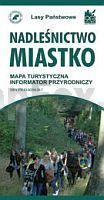
 | Forstwirtschaft Rummelsburg 1:75.000 Touristische Landkarte, Wanderkarte, Radwanderkarte - Polen Nadleśnictwo Miastko mapa turystyczna EKO-Map - Polen |