Bitte klicken Sie auf die gewünschte Region!
Zuletzt angesehene Artikel:
 | Oberpfälzer Wald (Nr. 186) 1:50.000 - 2 Wanderkarten im SET KOMPASS |
 | Kletterführer Zentralschweizerische Voralpen - Multipack: 1+2 (SW + NO) Schweizer Alpen-Club |
 | OL50 Ben Alder - Loch Ericht & Loch Laggan - Wanderkarte Großbritannien 1:25.000 EXPLORER MAP - Active Map LAMINIERT - Ordnance Survey |
 | Syrien und Libanon Geographische Straßenkarte 1:750.000 Syria and Lebanon GiziMap |
 | Via Francigena - Der Frankenweg in Latio Wanderkarte 1:50.000 L.A.C. GlobalMap Italien Via Francigena nel Lazio - Carta escursionistica |
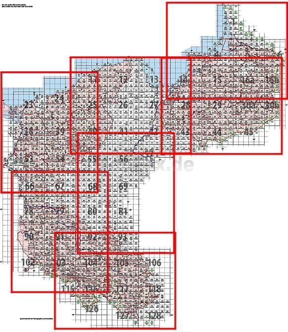
 | 2519 Frelsdorf Amtliche topographische Karte 1:25.000 Landesvermessungsamt Niedersachsen |
 | Brasilien Reiseführer Reise-Know-How Verlag |
 | 3927 Ringelheim Amtliche topographische Karte 1:25.000 Landesvermessungsamt Niedersachsen |
 | Aspen / Independence Pass (Blatt 127) GPS (CO) Landkarte - Trails Illustrated Map - National Geographic - USA National Geographic |
 | 064 Glasgow, Motherwell & Airdrie - Wanderkarte Großbritannien 1:50.000 Active Laminiert LANDRANGER MAP - Ordnance Survey |
 | Autour de Limoges à pied - Limousin Wanderführer - Mountainbikeführer (französisch) Autour de Limoges à pied - Limousin - Incontournables à pied Chamina - Frankreich |
 | Sella Rock - Kletterführer - 255 Mehrseillängenrouten in der Sellagruppe - Alessio Conz und Renato Bernard - Versante Sud |
 | 44 Bodensee Ost - 1:35.000 Outdoorkarte - Wanderkarte Kümmerly & Frey |
 | Bulgarien Straßenkarte 1:800.000 Bulgaria Autokarta Magic Map Serbien |
 | M15 Neumarkt - St. Veit - mit Gangkofen, Vilsbiburg, Bodenkirchen, Massing, Egglkofen, Niedertaufkirchen ATK25 Topographische Karte 1:25.000 (Atkis) Bayern Landesvermessungsamt Bayern - Wanderkarte |
 | Serbien Nord 1:200.000 Autokarte freytag & berndt |
 | Dolomiten 1:170.000 - Italien Nordost 1:500.000 Landkarte (engl.) Dolomites & Italy NE - Italy North East ITMB International Travel Maps (engl.) |
 | Azoren Reiseführer (engl.) - Discover twice the place in half the time Azores - Pocket Guide Lonely Planet |
 | L´Oisans - Balades a pied - Les Incontournables Wanderführer (französisch) Chamina - Frankreich |
 | 402 Famara - Färöer - Topographische Karte 1:20.000 402 Færøer - Topografisk kort 1:20.000 - Miliøministeriet - Kort & Matrikelstyrelsen / ProjektNord |