| << Cookinseln - Tokelau-Inseln - Niue - Kermadecinseln |
||
|
||
Zuletzt angesehene Artikel:
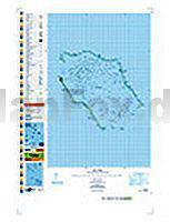
 | PI16 Penrhyn (Cookinseln) Topographische Landkarte 1:50.000 - Land Information New Zealand |
 | 1845SB Boulogne-sur-Gesse - Trie-sur-Baïse GPS Amtliche Topographische Wanderkarte Frankreich 1:25.000 - série bleue (IGN) |
| Gütersloh 1979 (Blatt 170) Historischer Bildstadtplan Bollmann-Bildkarten-Verlag |
 | 2643OT LODEVE-BEDARIEUX Topographische Wanderkarte Frankreich 1:25.000 TOP 25 IGN |